
GPS Jamming and Spoofing Aren't a War-Zone Problem Anymore — Yachts Are Already Being Caught Out
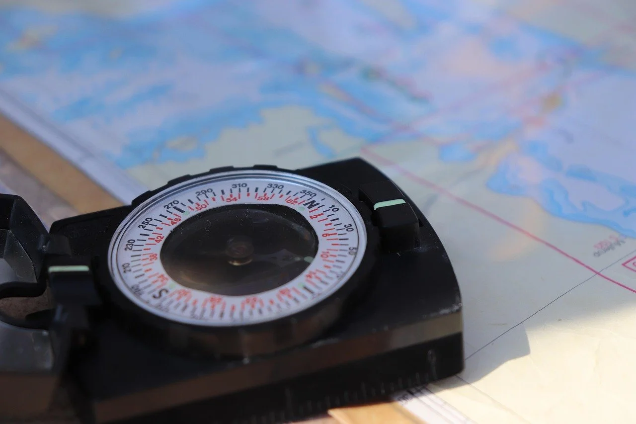
The instinct in yachting circles is that GPS interference is something that happens to warships and tankers near Hormuz or the Black Sea — not to a boat pottering around the Baltic or the eastern Med. Even the Royal Institute of Navigation's (RIN) own director has pushed back on that assumption directly with sailors: Dr Ramsey Faragher's advice to cruisers, as reported by Yachting Monthly, was aimed at "this particular community [leisure mariners], as well as to the bigger ships" — the magazine noted plainly that "leisure vessels, though not the target, can also be caught out in affected areas" (Yachting Monthly, 30 June 2026).
That gap between assumption and reality is exactly where the risk sits. The consequences aren't hypothetical: in May 2025, the 7,000-TEU container ship MSC Antonia ran aground on Eliza Shoals off Jeddah after spoofed GPS data convinced her navigation systems she was roughly 80 kilometres from her actual position — her electronics were confidently, comprehensively wrong, and nobody on board realised until she hit the seabed (HFW, 1 July 2026). A yacht running the same class of chartplotter, autopilot and AIS is exposed to exactly the same failure mode — a reef, a shoal, an unlit obstruction or another vessel doesn't announce itself to a GPS fix that's already been fed a false position.
The data backs up how routine this has become. RIN's own 2025–26 survey of over 100 maritime experts and 300 vessel captains found hundreds of vessels affected daily, with at least two groundings and a collision in 2025 directly linked to GNSS interference, at a combined cost of roughly $100 million (GPS World, 2 February 2026; Yachting Monthly, 30 June 2026; Practical Boat Owner, 4 March 2026). Faragher lists the eastern Baltic and the eastern Mediterranean among the most active interference zones worldwide — two of the most heavily cruised stretches of water in Europe (Yachting Monthly, 30 June 2026).
It's not confined to conflict zones
Baltic Sea and Gulf of Finland. Norway's foreign ministry warned in November 2025 that Russia is jamming GPS in its northern border regions — its state secretary, Eivind Vad Petersson, described "almost continuous GPS jamming or spoofing" there (Yachting World, 3 March 2026). Finnish sailors Niklas and Johanna Wärnhjelm have watched friends' chartplotters show their boats miles from their actual position — a routine occurrence, not a one-off, for cruisers in the area (Yachting World, 3 March 2026). Separately, an analysis carried by NorthStandard put the number of vessels affected in the Baltic and Gulf of Finland at around 1,225 in the first quarter of 2025, rising to more than 5,800 in the second (NorthStandard, 19 June 2025).
Eastern and central Mediterranean. This isn't new: the US Maritime Administration flagged GPS interference between Libya and Malta, near Port Said and the Suez Canal, around Cyprus, and between Hadera in Israel and Beirut back in 2019 (Safety4Sea, 27 September 2019). RIN's Faragher still names the eastern Mediterranean as one of the most active zones as of mid-2026 (Yachting Monthly, 30 June 2026) — which puts a chunk of the standard Riviera-to-Turkey charter run inside a recognised interference belt.
The eastern Caribbean. During the US military build-up against Venezuela in late 2025, GPS jamming and spoofing spread well beyond Venezuelan waters. A cruise ship off Aruba lost its GPS-fed navigation sensors in late November and ran on paper charts for three hours; a tanker reported four hours without GPS on 15 November; and at least six tankers in the region resorted to AIS spoofing or switched their transponders off rather than broadcast a false position, according to a maritime-security incident log (Maritimecybersecurity.nl incident report, December 2025). Commercial pilots flying into Curaçao, Puerto Rico, Trinidad and Tobago and Grenada reported the same loss of signal on the same days, and Stanford's GPS Lab found roughly one in five Caribbean flights had GPS problems from early September 2025 onward (San Juan Daily Star, 22 December 2025). None of this is charter-yacht-specific reporting — nobody is yet tracking pleasure craft the way RIN tracks commercial losses — but the affected waters are the Leewards-to-ABC-islands charter run.
The Persian Gulf — off the main charter routes, but a growing one. Fewer yachts cruise the Gulf than the Med or Caribbean, but the Dubai/Abu Dhabi/Ras Al Khaimah winter charter season has been growing, and every one of those itineraries passes through the Strait of Hormuz or the Gulf of Oman — currently among the most jammed and spoofed waters anywhere. After US and Israeli strikes on Iran on 28 February 2026, more than 1,100 ships were hit by GPS jamming in the Gulf within 24 hours, rising past 1,650 by mid-March, with vessels shown erroneously positioned over airports, power plants and dry land (Focal Point Positioning, 27 March 2026). Just off Fujairah's Khorfakkan anchorage — a routine stop for vessels transiting the Gulf of Oman — the VLCC Front Eagle collided with the tanker Adalynn on 16 June 2025 with GPS spoofing active in the area at the time; investigators and Frontline itself have called it a "navigational incident" rather than confirming spoofing as the cause, but GNSS interference's role in it has not been ruled out either (Splash247, 17 June 2025; Inside GNSS, 25 June 2025).
South Korea's west coast. In May–June 2024, around 60 merchant ships experienced jamming that falsely placed them near North Korean waters, attributed to North Korean interference — a reminder that ordinary commercial and leisure traffic gets caught up in disputes it has no part in (NorthStandard, 19 June 2025).
It isn't only hostile actors, either. The US Navy has run its own GPS-degrading test exercises off the American coast for well over a decade — a 2011 exercise centred roughly 150 nautical miles off the Georgia/Florida coast warned that GPS-dependent systems including AIS and DSC "may be unreliable or unavailable" for the duration (Panbo, 20 January 2011). No adversary involved at all — just routine friendly-force testing with the same practical effect on a boat's electronics.
Faragher has also been careful to note this isn't universal — he told Yachting Monthly the UK "hasn't been badly affected" so far (30 June 2026). But the exceptions map closely onto exactly the grounds — the Baltic, the eastern Med — where an owner or captain might assume they're furthest from anything resembling a conflict.
That's a snapshot of where the problem sits today, not a guarantee of where it stops. The Caribbean cases above are exactly that pattern in action: a region with no real history of jamming that acquired one within weeks, once a source of interference — in that case, military activity around Venezuela — turned up nearby. RIN's most recent survey found 75 percent of the maritime experts it polled think the problem is getting worse, not better (Focal Point Positioning, 27 March 2026). A cruising ground with no documented interference so far — the western Mediterranean included, where none of the reporting above turned up a specific case — is an absence of evidence, not a guarantee. On the pattern seen elsewhere in the last year, it's less a question of whether a currently quiet area gets caught out than when.
What it actually does to a boat
Jamming and spoofing are different problems. Jamming simply overpowers the GPS signal, so a receiver loses its fix; spoofing feeds it a false one. As Faragher put it: "There is no limit to the errors caused by spoofing. This can put you on the wrong continent, up in low-Earth orbit, or down at the centre of the Earth" (Practical Boat Owner, 4 March 2026). Weatherdock's Felix Metzenthin describes the more common jamming pattern in most regions as gradual "precision degradation" rather than a hard signal loss (Practical Boat Owner, 4 March 2026) — which is arguably worse for a crew, since a chartplotter that's quietly wrong looks the same as one that's right.
Every piece of onboard equipment with a GNSS chip in it is exposed: chartplotters, autopilots, AIS, DSC radios, EPIRBs and man-overboard beacons among them (Yachting Monthly, 30 June 2026; Practical Boat Owner, 4 March 2026). Spoofed timing data can also propagate into systems that quietly rely on GPS for a clock signal rather than a position — RIN's report specifically flags radar, radios and ship's clocks as having "unnecessary dependencies" on GNSS that most crews aren't aware of (GPS World, 2 February 2026).
That's the mechanism behind the Antonia grounding described at the top of this piece — and it isn't a one-off. P&I insurers have separately reported member vessels whose GPS-derived position had silently drifted 40 nautical miles from their actual track before anyone on board noticed (HFW, 1 July 2026). And it isn't only groundings: the VLCC Front Eagle, discussed above, had suffered AIS spoofing on multiple occasions in the weeks before its collision with the Adalynn off Fujairah (HFW, 1 July 2026).
Insurers are already treating this as a live claims issue, not a hypothetical one. Chris Kilbee, chair of the Association of Average Adjusters, has put it plainly: "GPS spoofing is where false positioning signals mislead a vessel's navigation systems giving misreported positions which have the potential to cause a grounding" (Safety4Sea, 7 August 2025). What's less settled is who pays for it: cyber exclusion clauses common in hull and machinery policies, such as LMA5403, can be invoked where an electronic system was used "as a means for inflicting harm" — leaving shipowners, and by extension yacht owners, exposed to a coverage argument layered on top of the physical loss itself (Safety4Sea, 7 August 2025).
None of that liability exposure disappears just because the false position wasn't the vessel's fault. HFW's briefing notes that a crew over-relying on a GPS or AIS fix through a known interference event doesn't automatically escape liability afterwards — courts have asked why radar and a proper lookout weren't used as the primary check, on the basis that electronic positioning systems are not "a complete substitute" for them (HFW, 1 July 2026). For a yacht, that cuts both ways: the same spoofing that raises the odds of hitting a reef, another vessel or an unlit obstruction is also a scenario where "the GPS was lying to us" won't necessarily be a complete answer if nobody cross-checked it by other means.
What owners, captains and yacht managers can do
RIN's advice, and the consistent thread across the reporting above, comes down to redundancy and recognition: don't let any single system depend on GNSS with no fallback, and train the crew to recognise the signs — a chartplotter position that jumps or drifts without a corresponding course change, AIS targets that vanish or teleport, or a GPS clock that's suddenly out of sync with everything else on the bridge. Traditional backups — radar, dead reckoning, visual pilotage, a paper chart actually marked up before departure — stop being a box-ticking drill and start being the thing that catches an error nobody else on board would otherwise see.
MariTrace has partnered with hardware and solution providers to offer jam- and spoof-resistant equipment alongside our Mercury tracking device, giving owners and captains a way to address this rather than simply hoping it doesn't happen to them.
If you own, manage or crew a vessel that's spent time in any of the areas above, get in touch — we'd like to hear what you've seen, and talk through what's available for your fleet.
Sources
RIN report: How GNSS interference harms maritime safety — GPS World, 2 February 2026
Navigating blind: The urgent threat of GPS spoofing to sailors — Yachting Monthly, 30 June 2026
GPS Jamming, Spoofing and Hacking — NorthStandard, 19 June 2025
Laden Frontline VLCC collides with shadow suezmax tanker off Khorfakkan — Splash247, 17 June 2025
GNSS Interference in Ship Collision, Fires, Grounding — Inside GNSS, 25 June 2025
AAA: Insurance coverage uncertainty due to GPS spoofing — Safety4Sea, 7 August 2025
Caribbean GPS jamming incident report — Maritimecybersecurity.nl, December 2025
GPS interference in Eastern/Central Mediterranean Sea and Suez Canal — Safety4Sea, 27 September 2019
"GPS testing"...or do they mean jamming? — Panbo, 20 January 2011
MariTrace tracks vessel movements and maritime security incidents — including GNSS jamming and spoofing — across commercial and leisure shipping worldwide.