Granular maritime data that strengthens your platform and your offering
Whether you’re powering an analytics dashboard or enriching maritime intelligence, MariTrace delivers layered vessel movement data — combining public AIS, Roaming AIS, and proprietary feeds for higher integrity, better uptime, and broader coverage.
AIS tells part of the story. MariTrace fills in the rest.
Signal dark spots and delayed updates make it harder to deliver reliable insights — especially in high-risk or low-coverage zones. But your customers still rely on accurate, defensible vessel movement data. You need a feed you can trust.

“What’s happening around each vessel?”
“Can we fill in gaps where traditional AIS drops out?”

“Is the data reliable enough for critical decisions and third-party use?”

Feed your system with verified movement history
We log route history, port calls, and position data in real time. Our feeds integrate easily into customer-facing tools, dashboards, or internal systems — so you can deliver answers, not just raw inputs.
Built for those who need better data and more of it
MariTrace delivers trusted, high-fidelity vessel tracking data for customers who rely on clean inputs and seamless integration.
Fill in AIS blind spots
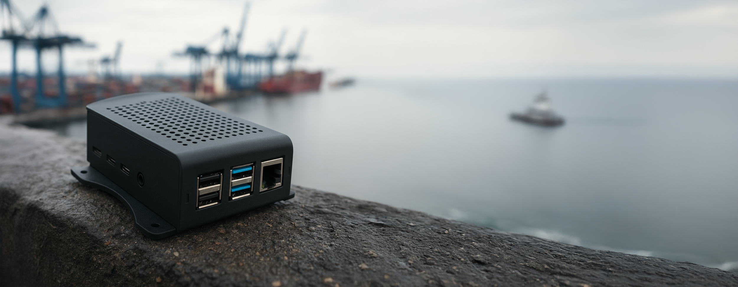
Our on-board Mercury device captures encrypted location data even when AIS is unavailable due to coverage gaps, interference, or intentional silence. The system transmits this data securely and limits access to authorized users.
Scalable, fast, and ready APIs
Whether you’re powering one client’s risk model or an entire tracking platform, MariTrace was built to scale. Our data streams are fast, clean, and ready for integration.
Deliver broader situational awareness
In addition to position data, MariTrace surfaces risk overlays within its UI — including high-risk areas and security advisories — to support smarter routing, compliance checks, or platform display layers.
The last satellite AIS ping was hours ago. But your system doesn’t miss a beat.
With MariTrace and Mercury data integrated behind the scenes, you still see the vessel’s position, risk exposure, and route history — even when AIS has cut out.
The moments Maritrace was built for.
A client flags unusual routing behavior…
Your system has the full picture. While AIS may drop out, Mercury continues transmitting — providing uninterrupted visibility into where the vessel actually travelled.
You’re building an alerting tool for high-risk zones…
MariTrace’s layered data stream includes traditional AIS, Roaming AIS, and geofenced zones, giving you the granularity to power real-time alerts or custom dashboards.
Your customer requests proof of compliance during a dark period…
The vessel’s AIS was off, but Mercury was on. Your team pulls the verified route from MariTrace and delivers exactly what the insurer needs, in minutes.
You’re expanding your platform’s maritime offering…
With MariTrace, you can offer more than just standard AIS data — enabling smarter tracking tools, analytics products, and value-added insights.
Still have questions? We’ve got answers.
-
Yes. We work with selected resellers and platform partners to integrate MariTrace data into broader maritime intelligence offerings. Contact us to explore partnership options.
-
Yes. When paired with our Mercury device, MariTrace provides encrypted vessel tracking during AIS dropouts or intentional dark periods — filling in critical data gaps for more complete historical and real-time visibility.
-
You can access traditional AIS, Roaming AIS, and encrypted Mercury data streams. These can be visualized through our interface or integrated via API, depending on your product or platform needs.
-
Absolutely. MariTrace logs include precise timestamps, port calls, and verified position histories — ideal for generating defensible movement records or meeting documentation standards for insurers and regulators.
-
Mercury doesn’t replace your existing AIS marine traffic system — it complements it. When AIS is on, MariTrace displays both public and encrypted data streams. When AIS drops out, Mercury keeps your marine vessel tracking uninterrupted and secure.
-
Absolutely. Our API documentation is here. However, we can get data to you in a variety of ways, not just API. If you want to talk about other methods of getting data to you, please contact us.
-
Reach out to our team. We’re happy to talk through your specific use case.
turning ship movements in market insight
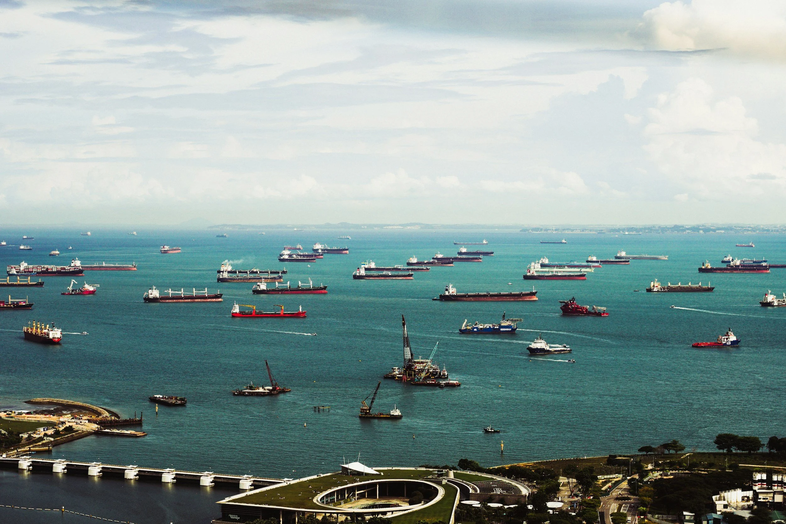
MariTrace transforms the movement of ships into a complete, structured view of the global economy. By continuously tracking tens of thousands of vessels across more than 7,500 ports, we generate a real-time picture of global trade flows — from macro trends down to individual cargo movements.
See below for a sample of some of the datasets we offer. Please contact us if you have any questions requirement for a bespoke dataset.
Still relying on just AIS tracking? It might be time to offer more.
Whether you’re integrating maritime data into your own tools or looking to expand your offering, MariTrace provides enriched, reliable vessel tracking with layered intelligence your clients can trust.